

Australian Underground Utility Locations (AUUL) knows all there is to know about safely locating underground utilities and especially how important it is to drill before you dig.
AUUL understands the civil and building industries and is able to readily adapt to changing worksite conditions and time frames.
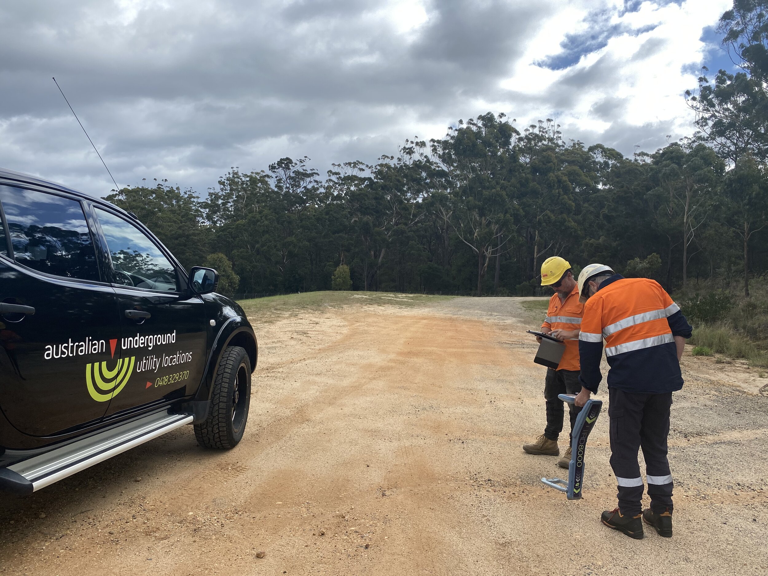
We are a CLO (Certified Locating Organisation) accredited by DYBD (Dial Before You Dig). We have all construction OHS site safety certificates, first aid tickets, trade licenses and we comply with Australian Workplace Health and Safety standards.
We are committed to ensuring Underground Damage Prevention and have the equipment to ensure the worksite is disrupted as little as possible.
Industry experience, local knowledge and advanced equipment combine to find the following subsurface utilities:
• Telecommunication, including optic fibre
• HV and LV electricity cables
• Stormwater and sewerage drains
• Gas and water pipes and mains
• Irrigation lines
• Fire Service lines
• Vacuum excavation
Working to Australian Standard AS5488-2013
The Australian Standard AS5488-2013 provides a framework for the classification of subsurface utilities and their location via a set of four easy to understand quality levels. The standard facilitates good risk management strategies to be applied when working with or close to subsurface utilities.
The four quality levels indicating the type of information known about a subsurface utility. Quality level A is the highest level, while quality level D is the lowest. The higher the quality level, the more is known about that subsurface utility, and the more accurate and more complete that information is.
Quality Level A is the only quality level that defines a subsurface utility as ‘validated’. The location of points surveyed on the surface and subsurface features are measured in terms of absolute spatial positioning.
Quality Level B provides relative subsurface feature location in three dimensions. Relative location refers to a distance or depth from another feature, e.g. a water pipe may be 2.4 metres from the edge of a footpath and 1 metre below the surface level. Level B requires specialist equipment and locaters skilled in tracing subsurface utilities.
Quality Level C uses any available information from Quality Level D and correlates it with surface features. These features may be access points on the surface such as hydrants, stop valves, access chamber lids, or points where utilities enter the subsurface domain (e.g. an electricity cable travels down a power pole and then becomes a subsurface electrical cable). As with Quality Level D, only a general indication of location is implied.
Quality Level D is the lowest quality level and default level if any of the other quality levels cannot be satisfied. This information may be compiled from existing records, cursory site inspection or anecdotal evidence. There is no requirement for a spatial tolerance, only a general indication of location.